Drone Services
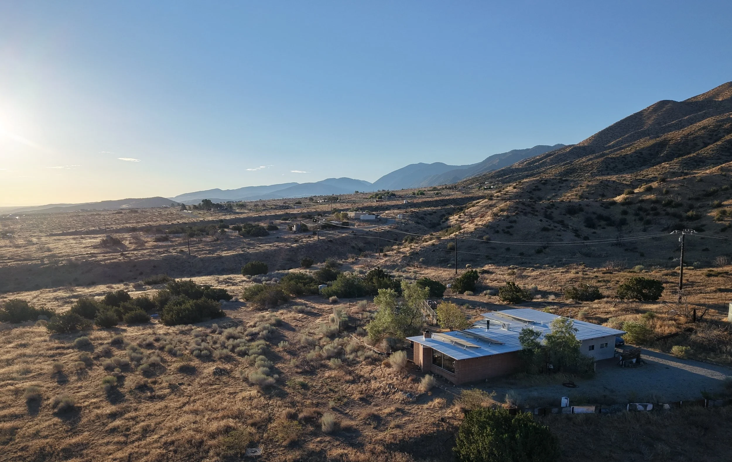
I capture aerial imagery for site context and canopy diagnostics for landscape architects, designers, property managers, homeowners, insurers, and other consulting arborists.
Aerial Inspections
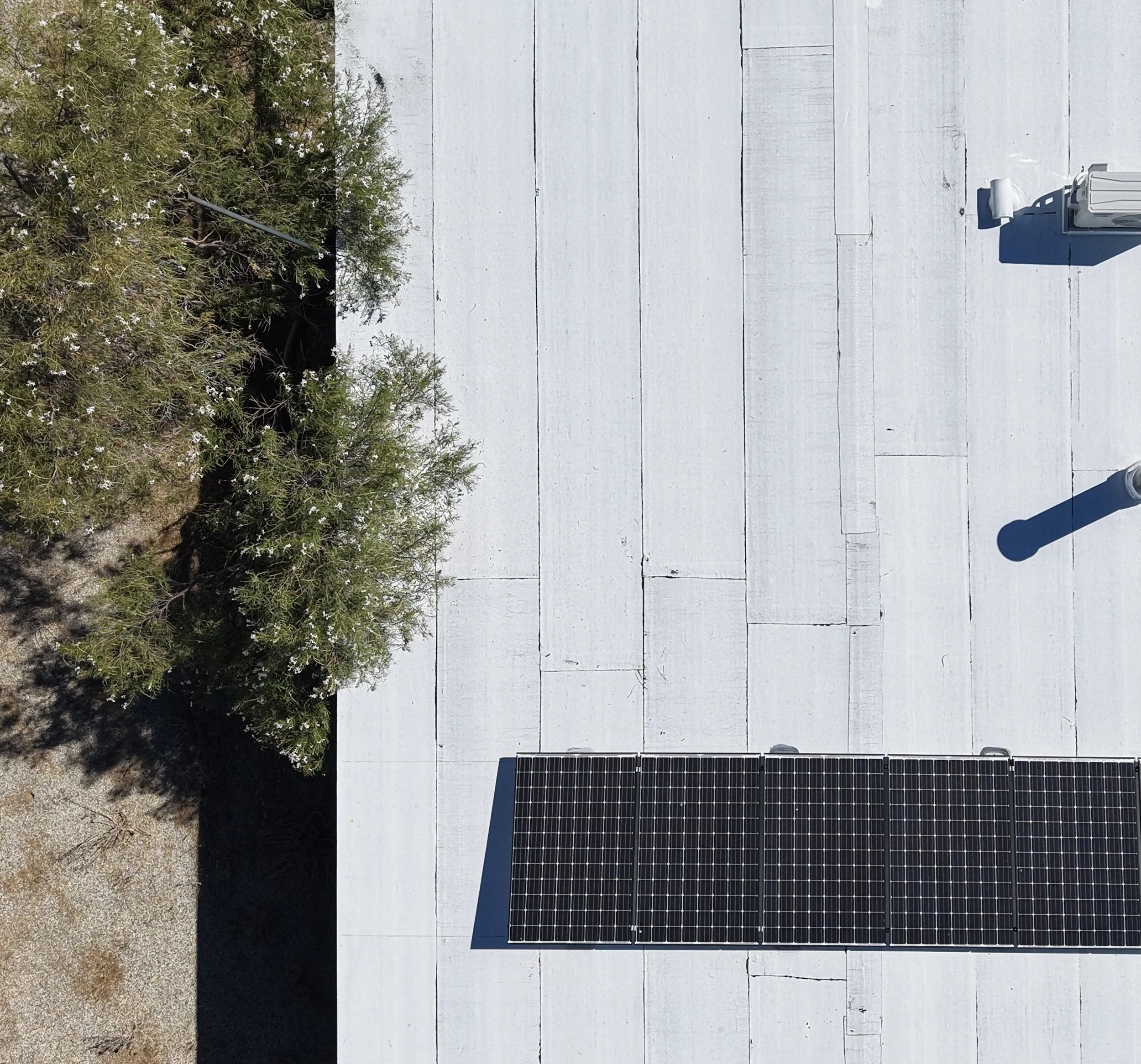
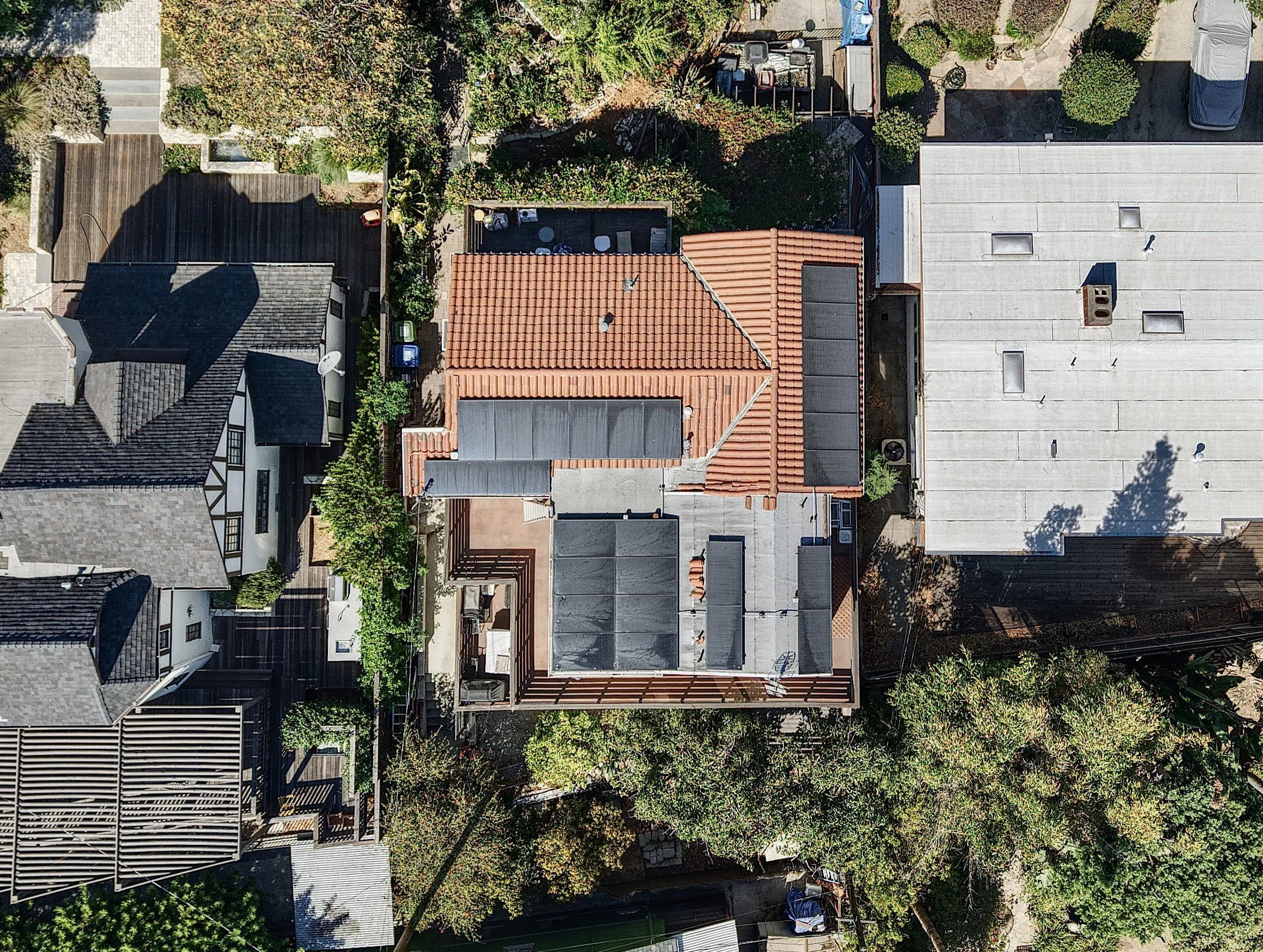
Inspections of tree canopy, structural decay, and deadwood, as well as roof and solar panel conditions, including branch overhang and contact risk.
Fire, Storm, & Emergency Damage Assessment
Rapid aerial assessment of impacted and damaged properties and trees.
Site Documentation & Mapping
Aerial photos, 4K video, and stitched 2D/3D maps of the site, tree context, and property boundaries for client presentations, construction planning, and design.
Construction & Permit Support
Monitoring of tree protection zone to support permitting and tree preservation, pre- and post-construction.
Canopy Change Monitoring
Repeat-visit imagery from the same point-of-view to track tree and site change over time.
All work is licensed, insured, and performed by me, an FAA Part 107 Certified Remote Pilot. Imagery is delivered in high-resolution JPEG and 4K formats.